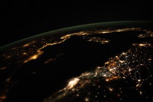
Earth
Polarized Submillimeter Ice-cloud Radiometer (PolSIR)
The Polarized Submillimeter Ice-cloud Radiometer (PolSIR) is an instrument that will be used to help understand Earth’s dynamic atmosphere as well as its impact on climate. The PolSIR instrument will study high altitude ice clouds in tropical and sub-tropical regions using identical pairs of radiometers that will…
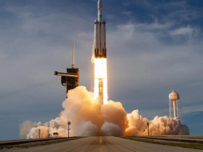
GOES-U Satellite
The NOAA (National Oceanic and Atmospheric Administration) team received telemetry from GOES-U (Geostationary Operational Environmental Satellite U), indicating the spacecraft is functioning nominally and is power positive. The NOAA GOES-U satellite has now safely deployed, and NOAA has acquired a signal. GOES-U will…
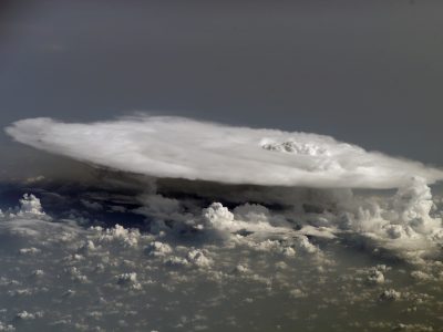
The Plankton, Aerosol, Cloud Ocean Ecosystem (PACE)
The Plankton, Aerosol, Cloud Ocean Ecosystem (PACE) mission is a NASA mission that will collect information on the processes behind carbon dioxide exchange in the ocean. By monitoring aerosols in the atmosphere along with plankton on the surface of the ocean, scientists can collect information…