Geostationary Extended Observations (GeoXO)

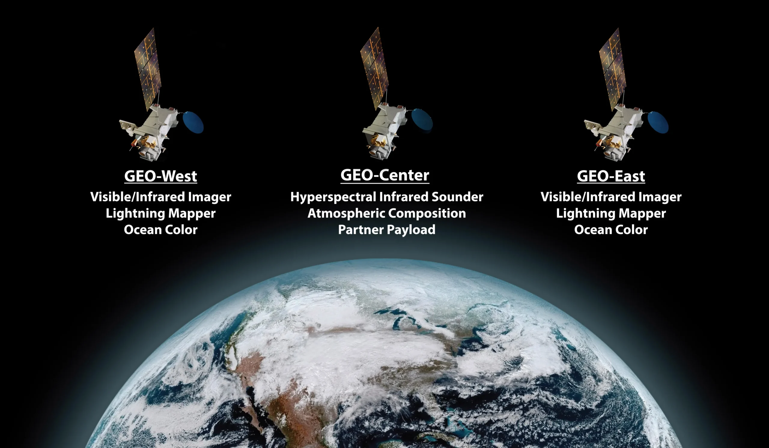
Geostationary Extended Observations (GeoXO) is a collaborative NOAA and NASA program that will provide continuous imagery and data on Earth’s atmosphere, land and ocean for operational forecasts and warnings. NASA will build and launch the GeoXO satellites and NOAA will operate them.
GeoXO will supply vital information to address emerging environmental issues and challenges regarding weather, the ocean, and the climate that threaten the security and well-being of everyone in the Western Hemisphere. The GeoXO mission will continue the critical observations provided by the GOES-R Series and bring new capabilities to address our changing planet.
Overview
GeoXO will provide advanced imagery and atmospheric measurements of Earth’s Western Hemisphere, real-time mapping of lightning activity, atmospheric composition measurements, and measurements of the biology, chemistry, and ecology of the ocean. GeoXO will support short-term forecasts and warnings of extreme weather and environmental hazards as well as long-term planning for the effects of climate change.
The first GeoXO launch is planned for 2032, as the GOES-R Series nears the end of its operational lifetime, and the mission will maintain and advance NOAA’s geostationary observations through 2055.
